Clarendon is named in honour of the Lord Chancellor, Sir Edward Hyde, Earl of Clarendon. Clarendon’s history dates back before the arrival of the Spanish and English when Taino villages could be found along Portland Ridge [Portland Point], Jamaica’s longest river. A vibrant agricultural show Denbigh Agricultural Show is held every August for three days to celebrate Jamaica’s wealth of domestic and agricultural product.
CLARENDON, JAMAICA
Historical Information
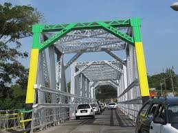
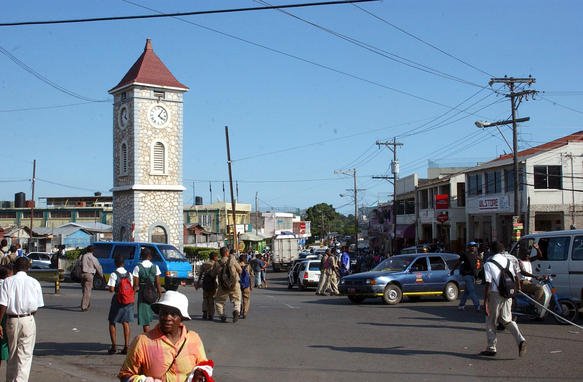
Clarendon is located at the southern side of Jamaica, roughly halfway between the eastern and western ends of the island. It is bordered on the north by St. Ann, on the west by Manchester, on the east by St. Catherine and on the south by the Caribbean Sea. May Pen is the capital of Clarendon, May Pen, was once part of a property owned by Rev. William May. It is said to have begun as merely two inns on the bank of the Rio Minho. The town grew rapidly and in 1938 it was made the capital of the parish. It is now a large town and boasts many churches, factories, a courthouse, modern libraries and numerous stores.
Geographical Information