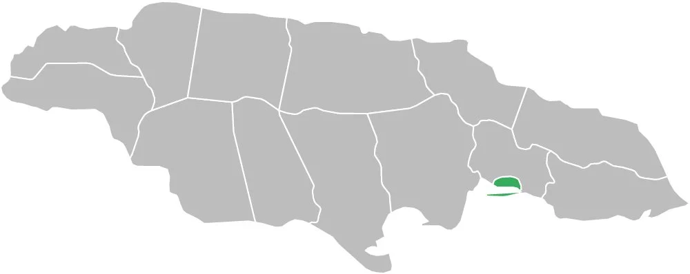
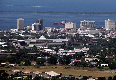
Kingston, the capital of Jamaica and the most populated city on the island, faces the 7th largest natural harbour in the world. The Palisadoes, a long sand spit that connects Kingston with Port Royal and Norman Manley International Airport, protects the harbour from rough seas. Kingston was first settled in July 22, 1692 after a devastating earthquake destroyed two-thirds of Port Royal on June 7th of that same year. Before this time, Port Royal was known as one of the "wickedest" cities in the world because of its unruly inhabitants, including privateer Sir Henry Morgan.
The town of Kingston in Jamaica was formed near the end of the seventeenth century. It was created as an alternative to Spanish Town, which was the capital city. The new town was bounded on the south by Harbour Street while East, West and North Street defined the remainder of Kingston. The original grid pattern of Kingston remains the same today except for a few additions. The additional streets were named after the councillors at the time when the town was founded.
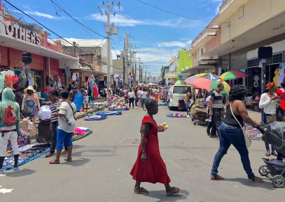
In 1865, over a hundred years after Admiral Knowles' attempt to remove the capital of Jamaica from Spanish Town to Kingston, Governor Sir John Peter Grant was assigned the task of re-organising Jamaica after a period of civil upheaval which had resulted in the Morant Bay Rebellion. Part of John Peter Grant's re-organisation included relocating the capital from Spanish Town to Kingston. Kingston developed rapidly and soon became the centre for trade and commerce on the island. The population of Kingston grew so much that it spilled over into St. Andrew.
KINGSTON, JAMAICA
Historical Information
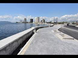
Kingston is located at the southeastern end of the island of Jamaica. It is sheltered by mountains from cold northern and northeast trade winds. The parish of Kingston, in addition to St. Andrew, has a total coastline area of 64.37 kilometers (40 miles), with 48.8 kilometers (30 miles) of usable coastline.
Geographical Information