The parish of St. Thomas is a rural area that has been inhabited for hundreds of years. The earliest known inhabitants were the Taino Indians, who reached Jamaica by canoe in 650 A.D., and stayed here until being exterminated by Spanish colonists about two centuries later. Archaeologists have discovered several Taino burial mounds, called cemeteries, but little else remains from this period except for some pottery shards, stone tools and refuse, known as middens, left behind at those sites. The first Europeans to settle in this region were Spaniards who established cattle ranches around the town of Morant Bay and at Yallahs.
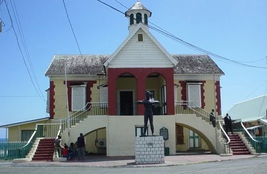
Historians of Jamaica have linked St. Thomas's history with the events of 1865, which led to Jamaica's Assembly being dissolved in that year and the island's status being changed to that of a Crown Colony. Those events also made Paul Bogle and George William Gordon National Heroes to modern Jamaicans and made Stony Gut and Morant Bay names which stir powerful emotions.
ST. THOMAS, JAMAICA
Historical Information
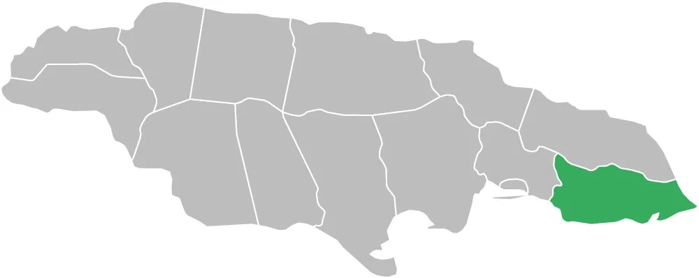
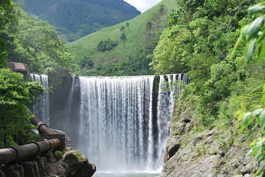
St. Thomas is located in the eastern Caribbean Sea and borders St. Andrew (to the west), Portland (to the north) and the Caribbean Sea (to the south). The island ranges from 4,000 feet above sea level to sea level. The island's western region is dominated by two mountain ranges: Port Royal and Blue Mountain.
Geographical Information